Cloud to Street - Microsoft Flood Dataset - Sentinel-2
Short description
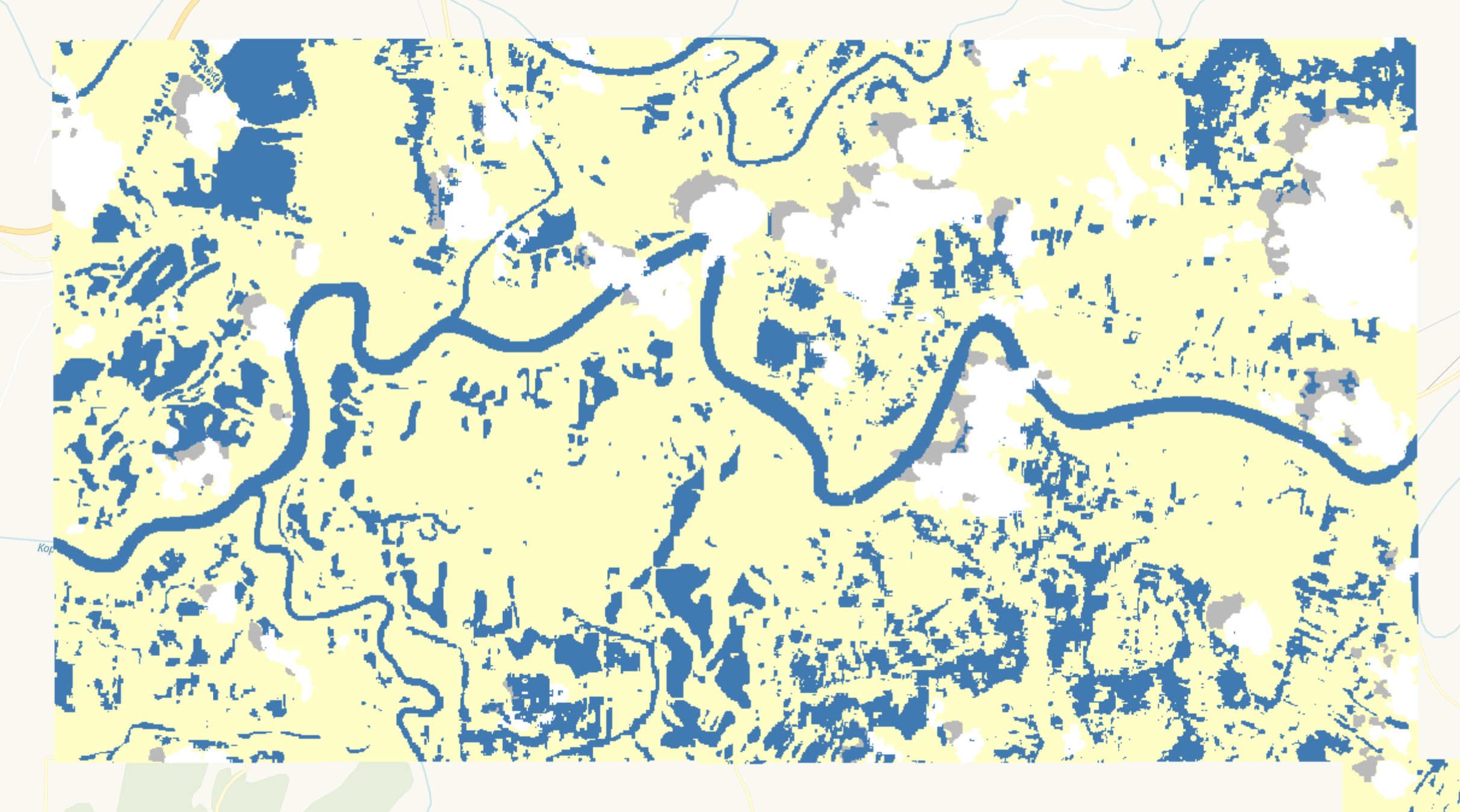
The Cloud to Street - Microsoft Flood Dataset (C2S-MS Floods) is a dataset of near-coincident Sentinel-1 and Sentinel-2 data paired with water labels from 18 global flood events. These labels are derived products of MODIS sensor on board NASA's Aqua and Terra satellites produced as a part of the study, "Satellite imaging reveals increased proportion of population exposed to floods," Nature (2021), doi: 10.1038/s41586-021-03695-w. In this collection, we keep the water label which represents the maximum observed flood extent during the time period of the event and the cloud/cloud shadow label for Sentinel-2. For a detailed description of the methods used to generate these labels, please refer to the original paper.
The C2S-MS Floods - Sentinel-2 contains a water label representing the flood extent and a cloud/cloud shadow label.
| Band Name |
Sample Type |
Expected Values |
Description |
| water |
UINT 8 |
0 - no water, 1 - water, 255 - no data |
Flood extent |
| cloud |
UINT 8 |
0 - no cloud, 1 - cloud, 2 - cloud shadow, 255 - no data |
Cloud mask |
More information about the C2S-MS Floods is described on the
Source Cooperative (previously Radiant MLHub) and the methodology and workflow is outlined in the
study.
Representative Images
 Flood extent along Kopili River, India in 2016.
 Flood extent along Kopili River, India in 2016.