Cloud to Street - Microsoft Flood Dataset - Sentinel-1
Short description
The Cloud to Street - Microsoft Flood Dataset (C2S-MS Floods) is a dataset of near-coincident Sentinel-1 and Sentinel-2 data paired with water labels from 18 global flood events. These labels are derived products of MODIS sensor on board NASA's Aqua and Terra satellites produced as a part of the study, "Satellite imaging reveals increased proportion of population exposed to floods," Nature (2021), doi: 10.1038/s41586-021-03695-w. In this collection, we keep the water label which represents the maximum observed flood extent during the time period of the event. For a detailed description of the methods used to generate these labels, please refer to the original paper.
The C2S-MS Floods - Sentinel-1 contains a water label representing the flood extent.
| Band Name |
Sample Type |
Expected Values |
Description |
| water |
UINT 8 |
0 - no water, 1 - water, 255 - no data |
Flood extent |
More information about the C2S-MS Floods is described on the
Source Cooperative (previously Radiant MLHub) and the methodology and workflow is outlined in the
study.
Representative Images
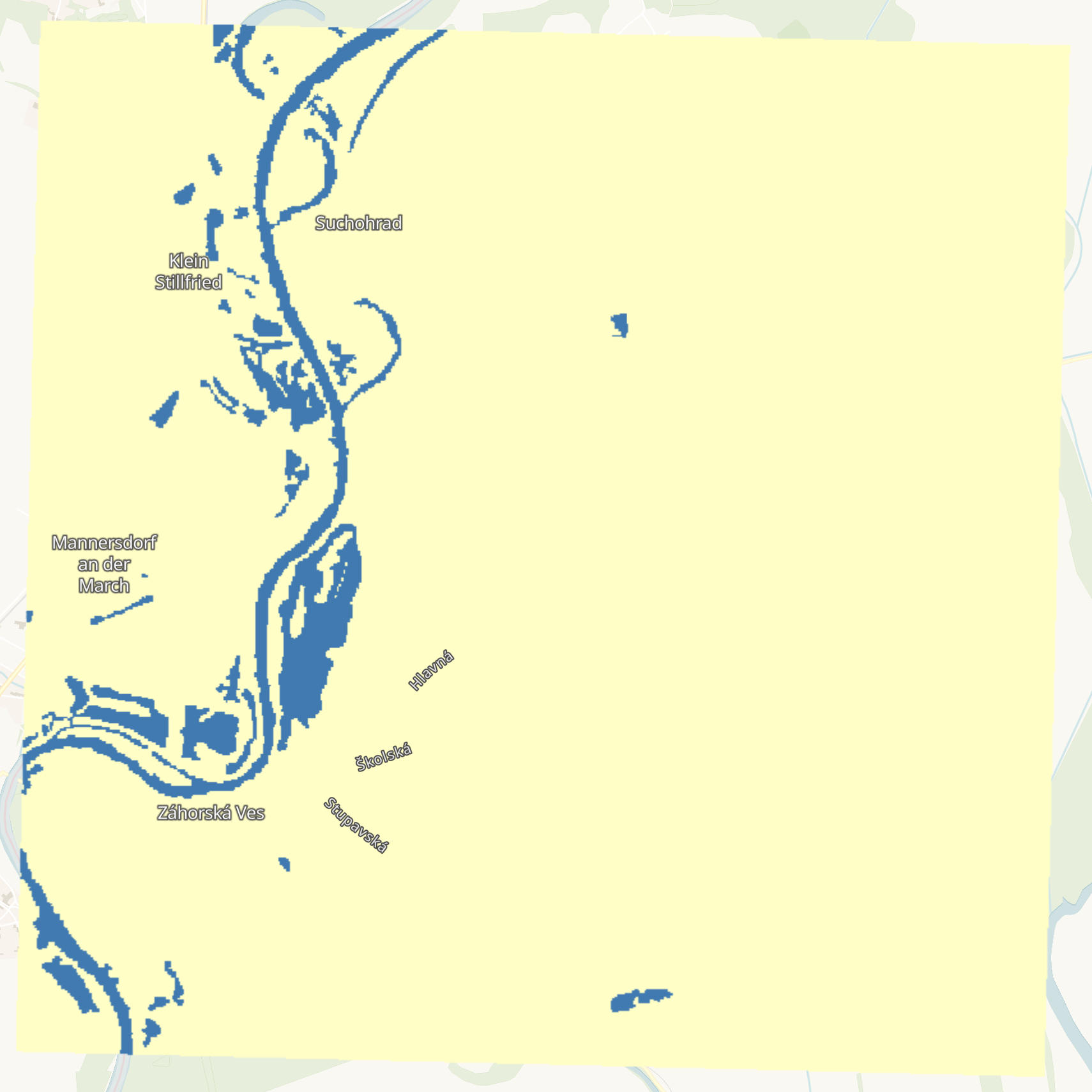 Flood extent near Suchohrad, Slovakia in 2020.