High-Resolution Snow & Ice Monitoring; River and Lake Ice Extent - Sentinel 1
Short description
The River and Lake Ice Extent - Sentinel 1 (RLIE S1) product is part of the Copernicus Land Monitoring Service (CLMS),
pan-European High Resolution Snow and Ice Monitoring
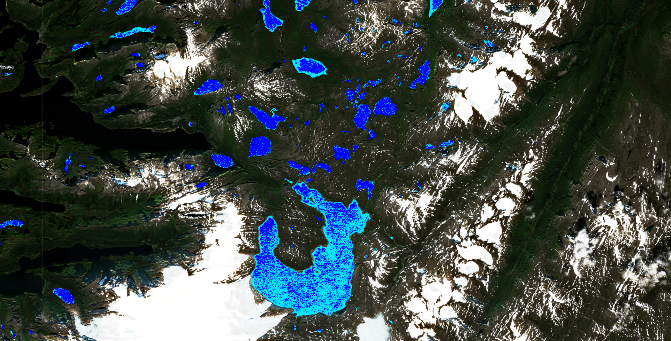
(HR-S&I) Ice product suite.The River and Lake Ice Extent (RLIE) products measure the presence of ice in rivers and lakes described by the EU-HYDRO network database, in particular the area of snow-free or snow-covered ice.
The RLIE S1 product is released in near real time for the entire EEA39 zone based on the revisit time of the Sentinel 1 syntetic aperture radar constellation (~ 6 days at the equator and ~1 to 3 days in European countries). Because it is time critical for several applications, every effort is made to provide near real time ice products between 6 and 12 hours after the data sensing time.
More information about the RLIE S1 product methodology and workflow is outlined in the
product user manual.
The RLIE S1 contains three layers: (1) the extent of rivers and lakes, (2) quality layer with confidence levels (QC), and (3) quality flags (QCFLAGS).
| Band Name |
Sample Type |
Expected Values |
Description |
| RLIE |
UINT 8 |
1 - open water, 100 - snow covered or snow - free ice, 255 - no data |
River and lake ice extent |
| QC |
UINT8 |
0 - high quality, 1 - medium quality, 2 - low quality, 3 - minimal quality, 205 - cloud or cloud shadow, 255 - no data |
RLIE quality layer |
| QCFLAGS |
|
bit 1 - dimension flag, bit 2 - standing water flag, bit 3 - radar shadow flag, bit 4 - temporary water flag, bit 5 - imperviousness flag, bit 6 - tree cover density flag, bit 7 - grassland flag |
RLIE quality flags |
More information about the RLIE S1 product methodology and workflow is outlined in the
product user manual.
Representative Images
 Sentinel 1 River and Lake Ice Extent, 2023, Nordland, Norway.
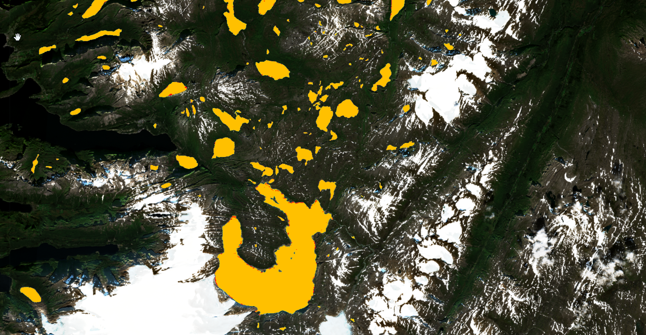
 Confidence levels of the Sentinel 1 River and Lake Ice Extent, 2023, Nordland, Norway.
 Sentinel 1 River and Lake Ice Extent, 2023, Nordland, Norway.
 Confidence levels of the Sentinel 1 River and Lake Ice Extent, 2023, Nordland, Norway.